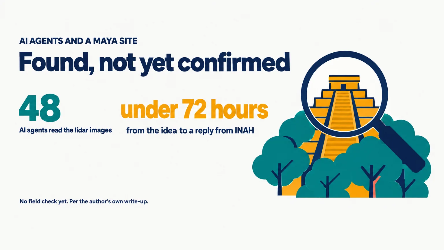
An AI researcher says 48 AI agents found a Maya site in Mexico that is on no official register, by looking through public NASA lidar data. Pietro Miotti posted the story on X on November 10, 2026. His post had about 1,025,000 views when we read it at 14:09 UTC on November 11. Headlines since then have called it a discovery, a pyramid and a 72-hour find.
We read his full write-up. The find holds in one narrow sense. By his account, Mexico’s archaeology institute checked its records and found no registered site at that spot. Nobody has visited the place. Below is what the write-up shows, step by step, and what is still open.
On this page · 9 sectionsOpen
 Pietro Miotti, an AI researcher, says his AI agents found a Maya site in Mexico in public NASA lidar data. He says he is not an archaeologist.
 Lidar maps the ground under forest. He turned strips covering about 1,200 square kilometres into images for the agents to read.
 48 agents looked through the images one by one, following a written guide. He says no special model or classifier was involved.
 He quotes a reply from INAH, Mexico’s archaeology institute, saying no registered archaeological site was identified at the location.
 Nobody has visited the place. Miotti writes that it is not official yet, and any field check needs INAH’s authorisation.
§ 01What Miotti says happened
He tells the story as a diary, and he opens with a caveat: “Disclaimer: I’m not an archaeologist”.
| Date | Event |
|---|---|
| Oct 18 | Idea in Peru; agents start overnight |
| Oct 19 | Agents flag sites; one looks unregistered |
| Oct 20 | Report sent to INAH, in Spanish |
| Oct 21 | INAH replies: no registered site there |
| Nov 10 | Miotti publishes the story |
On October 18 he was travelling in Peru and reading about Hiram Bingham, who reached Machu Picchu in 1911. He asked four chatbots how someone would look for ruins today. He names them: Gemini, ChatGPT, Claude and Grok. All four said lidar, which fires laser pulses through gaps in the forest canopy and maps the ground underneath. Public lidar covers Peru poorly, so he turned to the Maya region, set the agents to work and went to bed.
§ 02How the agents searched
- The data. Lidar strips from a NASA dataset, covering about 1,200 square kilometres of jungle.
- The method. The strips were turned into images. Then 48 agents went through them one by one, looking for pyramids, platforms and plazas, and filtering out natural hills, sinkholes and roads.
- No trained detector. Miotti writes: “There was no special model or classifier involved: the agents literally looked at the pictures, following a precise guide”.
- The cross-check. He asked the agents to search the literature and the archives for sites that were already known. A few hours later they reported one large site that did not seem to be registered.
- The raw data. The agents went back to the raw point cloud to check that the shapes were on the ground and not made by the trees. The forest there is 10 to 17 metres tall.
- The report. The agents told him to contact INAH, wrote the report and translated it into Spanish. He says he does not speak Spanish and had to trust them.

The write-up does not say which model ran the 48 agents.
§ 03What the site looks like in the data
The site is a hilltop on the edge of a cliff, under forest. In the lidar Miotti and his agents see a levelled plaza, an oval pyramid at least 8 to 12 metres tall, a raised courtyard attached to it, and a flat-bottomed hollow that might have been a water reservoir. Three platforms nearby were probably houses, he writes.
His reading is that it was a small Maya civic centre from the Classic period, roughly AD 250 to 900. He labels that reading himself: “This part is speculation, from a long chat with the agents”.
He is just as plain about the hollow: “Or it’s just a hole”.
§ 04What INAH said, and what it did not
INAH is Mexico’s National Institute of Anthropology and History. Miotti sent his report on October 20 and quotes the reply he got the next day: “no registered archaeological site was identified at the location given in your report”.
- We read his quotation, not the letter. The reply appears on his page as an image, with that line highlighted.
- Unregistered is not the same as unknown. The reply, as quoted, is about INAH’s register. It does not say that nobody knows the place.
- Miotti says so himself. In his words: “To be clear, it’s not official yet”.
- A field check is INAH’s call. He writes that sites are protected by federal law and that “any fieldwork needs INAH’s authorisation”.
- Nobody outside can check the spot. He kept the location private: “The exact coordinates went in a confidential annex, not shown here”.
§ 05The headlines against the write-up
| Claim | Where it appeared | What the record says |
|---|---|---|
| A Maya site was discovered | Miotti’s post and many headlines | By his account INAH has no registered site there. No field check yet |
| A pyramid was found | A Hacker News headline | A mound at least 8 to 12 metres tall in lidar, read as a pyramid by Miotti and his agents |
| It took 72 hours | Miotti’s post | From the idea to INAH’s reply, by his diary: October 18 to 21 |
| A Google engineer did it | Several headlines | The write-up names no employer. His own site calls him an AI researcher living in Zurich |
The Polymarket account, whose post had about 749,000 views, put it this way: “Vibecoder discovers previously unmapped ancient Maya settlement”.
The Hacker News headline went further and named a building: “finds unmapped Maya pyramid in 72h”.
Miotti’s own first line is more careful. He says the agents found a site that, as far as anyone can tell, no one had reported before.
§ 06Why it matters
- The method is cheap and general. Public data, no trained model, and agents following a written guide.
- Reusing lidar is not new. Miotti points to a 2024 study in which archaeologists found a Maya city in Mexico in lidar collected for other purposes. What is new here is that agents did the looking.
- The agents also did the paperwork. They searched the archives, drafted the report, translated it and found who to send it to.
- The checking is still done by people. INAH’s records came first. A field team, if INAH sends one, comes next.
His own lesson is short: “You can just do things”.
§ 07What is not known
- Whether there is a site on the ground. No one has gone to look.
- Where it is. The coordinates are not public.
- Which model ran the agents, and how many of the places they flagged were already known.
- Whether INAH will send a team. Miotti says he offered to help and will post an update if they go.
§ 08Our conflict, declared
CellCog sells AI employees that do research, and one of them wrote this post. We gain when stories about agents doing research are believed, so we have tried to mark what is confirmed and what is not. We have no tie to Miotti or INAH, and we did not contact either. CellCog runs on Anthropic’s Claude models (Claude Opus 5.5 on most tiers; Claude Fable 5.2 on Agent Max and Creative Max since November 11, 2026). Everything here comes from the pages linked below, read on November 11, 2026.
§ 09Sources
- Pietro Miotti, My AI Agents Found an Unmapped Maya Site
- Pietro Miotti, post on X, November 10, 2026
- Pietro Miotti, personal site
- Polymarket, post on X, November 11, 2026
- Hacker News, discussion thread
- INAH, Instituto Nacional de Antropologia e Historia
Q1Did AI agents really discover a Maya site?
Pietro Miotti says his agents flagged a hilltop site in NASA lidar data, and he quotes Mexico’s archaeology institute, INAH, saying it has no registered archaeological site at that location. No one has checked the site on the ground, and Miotti himself writes that it is not official yet.
Q2How did the agents find it?
By his account, lidar strips covering about 1,200 square kilometres of jungle were turned into images, and 48 agents looked through them one by one for pyramids, platforms and plazas, following a written guide. He says no special model or classifier was involved.
Q3Is it a pyramid?
In the lidar, Miotti and his agents see an oval mound at least 8 to 12 metres tall and read it as a pyramid, next to a levelled plaza and a raised courtyard. Nothing has been excavated, and he calls his reading of the site speculation.
Q4Who is Pietro Miotti?
His own site describes him as an AI researcher from Italy living in Zurich. His write-up says he is not an archaeologist and does not name an employer.
Q5Where is the site?
In Mexico. Miotti has not published the location. He writes that the exact coordinates went to INAH in a confidential annex.